
01
Choose the hike by effort, altitude and conditions
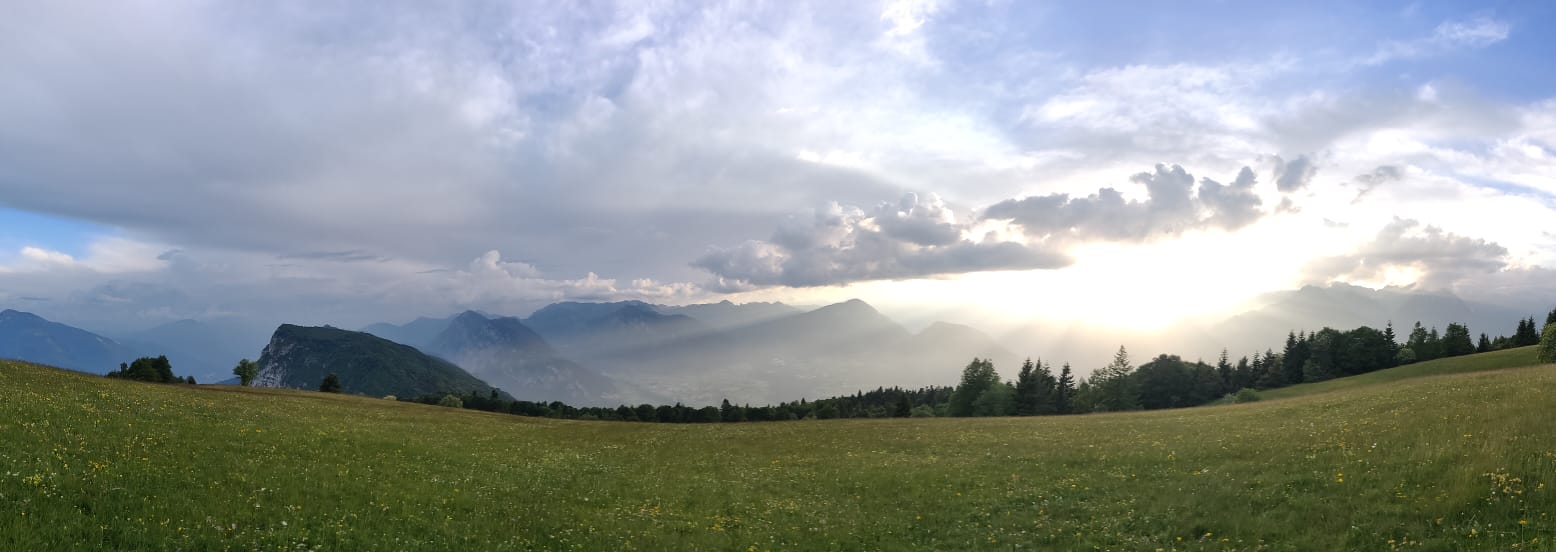
This guide is for mountain hikes rather than the short village walks covered in our easy walks near Cares guide. The three options below have different levels of commitment, so choose according to fitness, mountain experience, weather and the conditions reported on the day.
- Monte Casale: a sustained panoramic climb directly above the Comano area;
- Val d'Algone: a medium valley circuit through forest, pasture and local history;
- Val d'Ambiez: a higher Brenta Dolomites route that requires proper mountain preparation.
Times and distances are route figures, not guarantees. Allow extra time for breaks, navigation and changing conditions.
02
Monte Casale: the panoramic hike above Comano
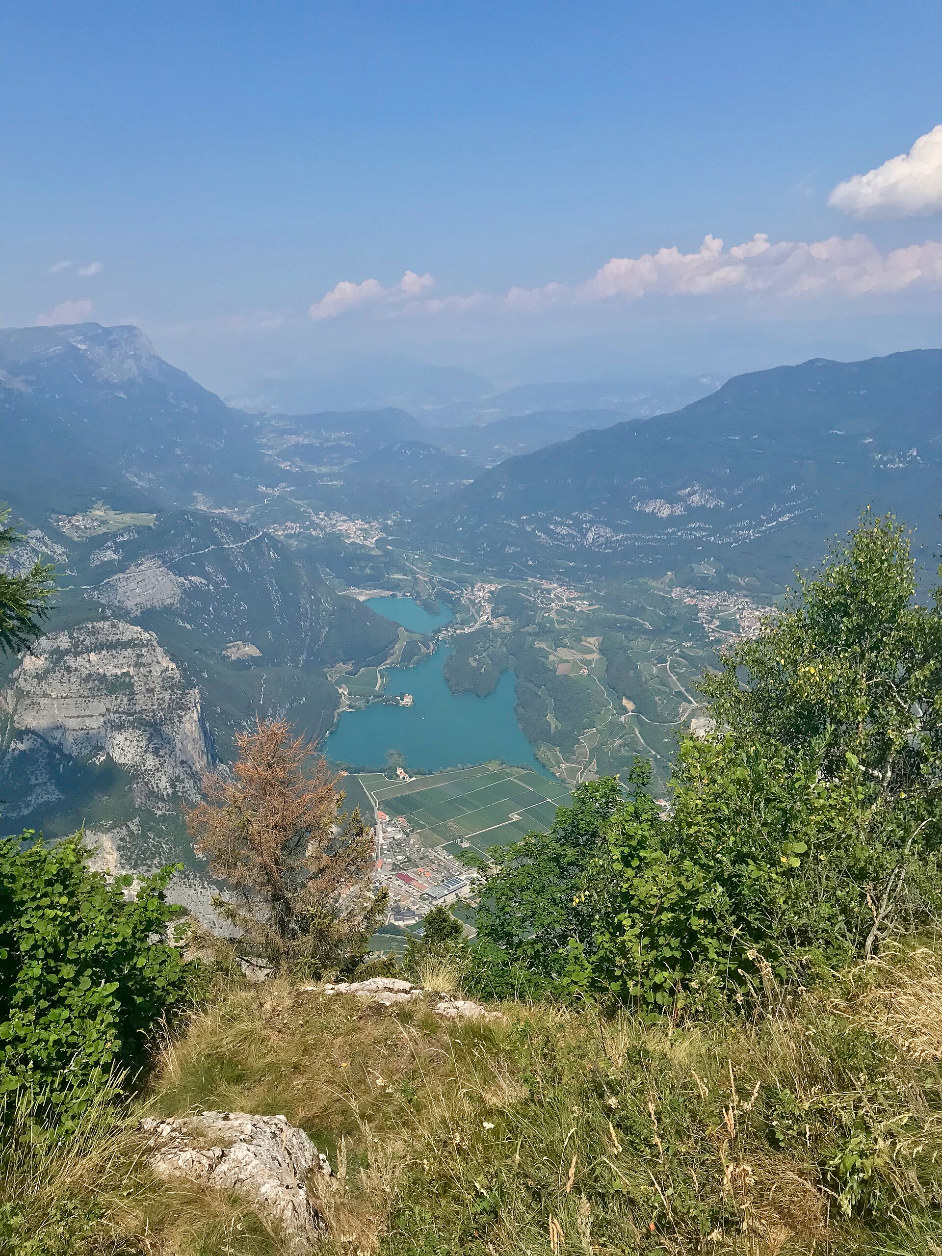
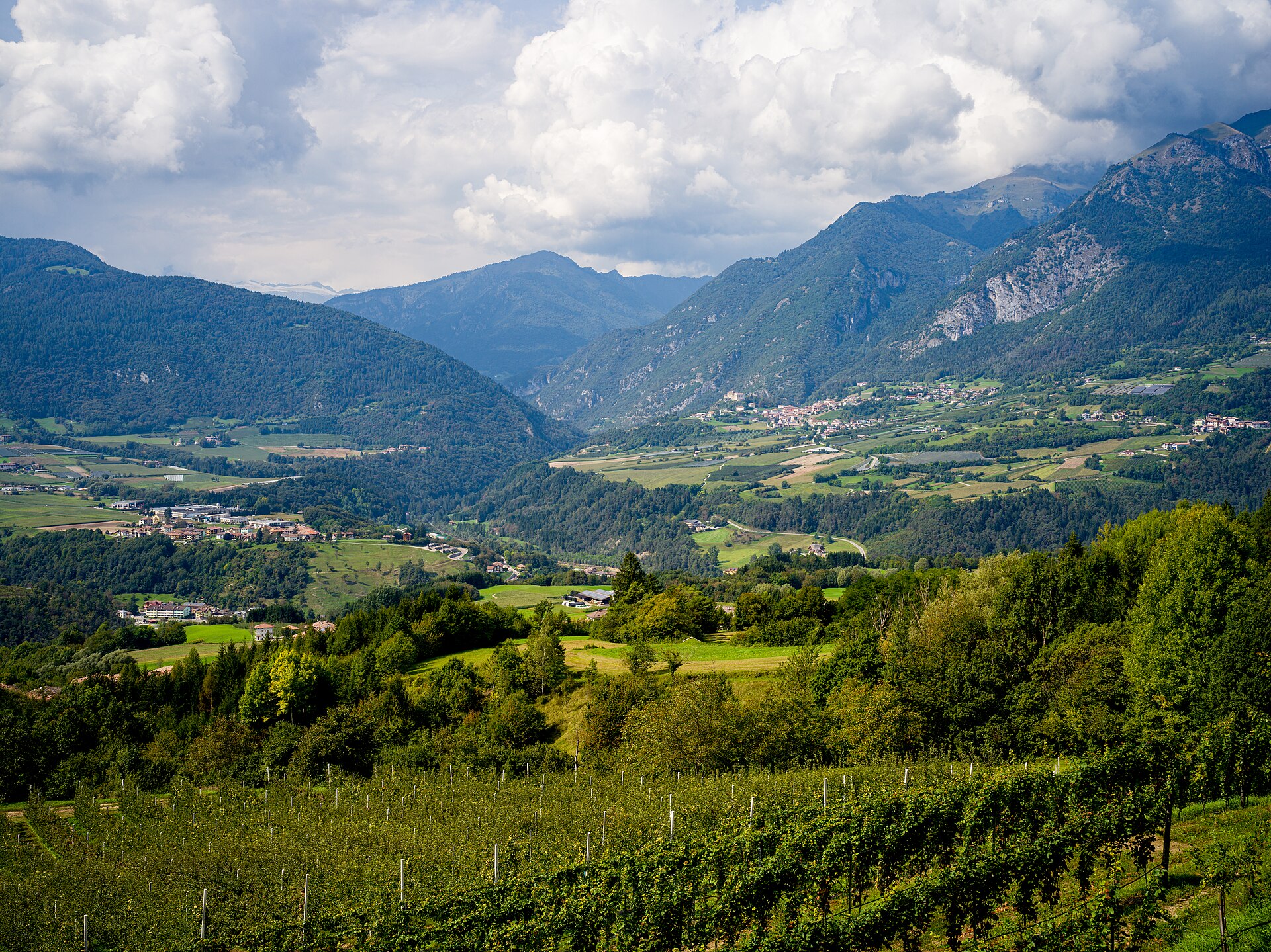
The official Garda Trentino route starts in Comano Paese and follows SAT trail 411 towards the summit at 1,632 metres. It is graded intermediate and lists 11.6 km, about 5 hours and 1,005 metres of ascent and descent. The reward is a wide panorama over the Brenta range, Adamello-Presanella and several lakes.
Use the official Monte Casale route page for the current status, GPX and equipment notes. Open the live route from Casa Regina 21 to Comano Paese before leaving. Do not rely on the optional upper-road access unless the local permit and road conditions have been confirmed that day.
03
Val d’Algone: a medium hike inside the nature park
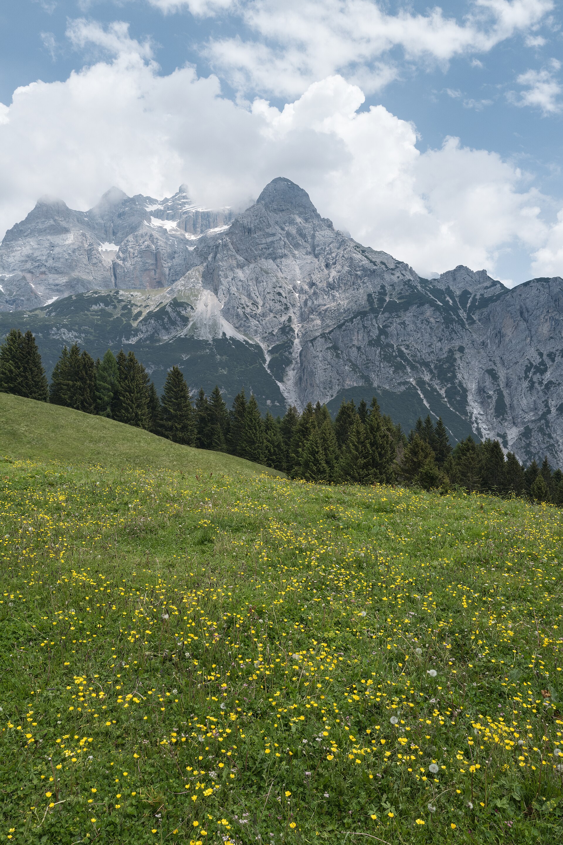
The Val d’Algone discovery trail is a useful middle option: more substantial than a village stroll but lower and less committing than the high Brenta route. Garda Trentino lists the circuit from the Rifugio Ghedina and Albergo Brenta area as intermediate: 7.2 km, about 3 hours 30 minutes, 367 metres of ascent and 338 metres of descent.
The route passes forest, meadows, traces of the old glass industry and the summer pasture at Malga Nambi. Check the official Val d’Algone route page, then confirm the live drive from Casa Regina 21 to the trail area. Mobile and GPS reception can be unreliable deeper in the valley, so save the official map before setting out.
04
Val d’Ambiez: a high-mountain Brenta Dolomites day
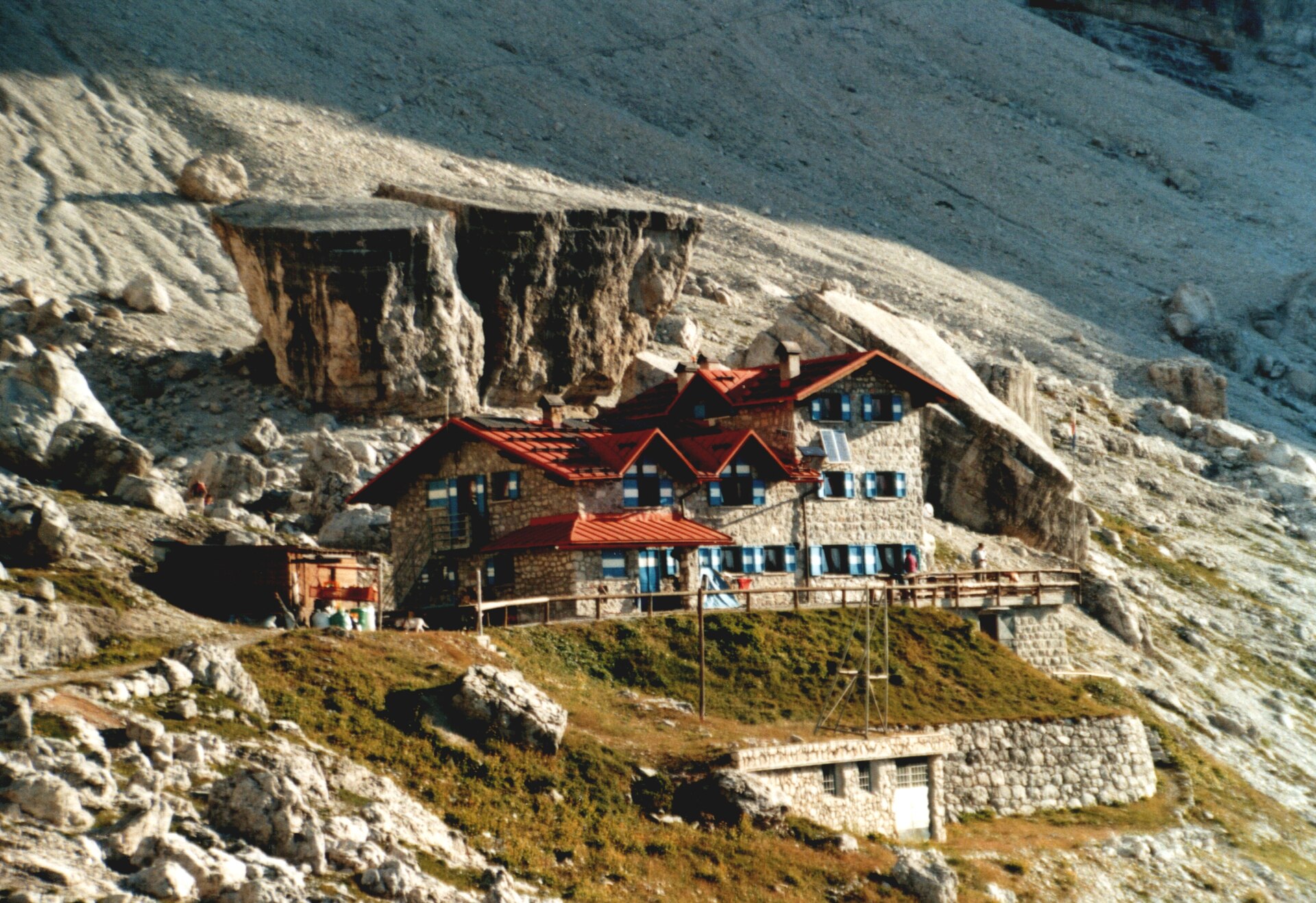
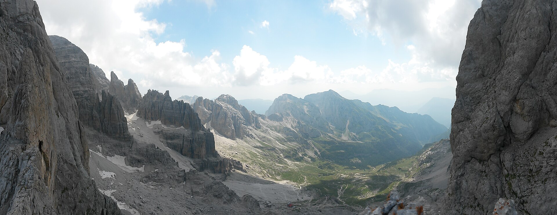
The official circuit between Rifugio Al Cacciatore and Rifugio Agostini is a proper mountain hike at the foot of the Brenta Dolomites. It is graded moderate and lists 6.5 km, about 4 hours, 631 metres of ascent, 604 metres of descent and a high point of 2,410 metres.
Those figures begin at Rifugio Al Cacciatore—not at the valley-floor car park. The refuge is normally reached from the Baesa entrance above San Lorenzo in Banale using a separate jeep-shuttle service, which must be checked and arranged in advance. Read the official Cacciatore–Agostini route carefully, including its warning about the steep optional detour and fog, and use the live route to the Baesa access area only as the first part of the plan.
05
Check access, weather and mountain safety before leaving
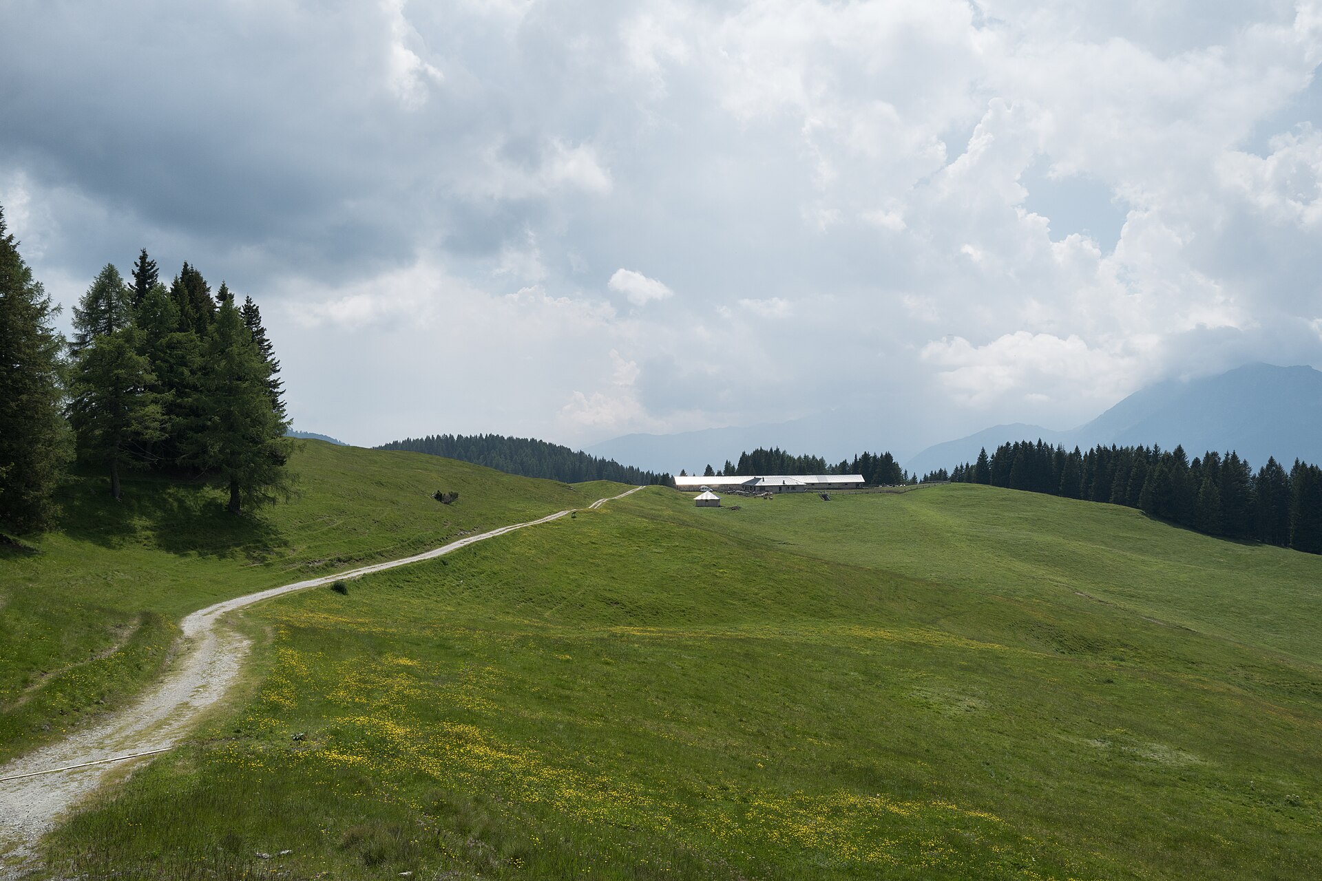
Route status, refuge openings, shuttle services, parking rules, snow and thunderstorms can all change. Re-open the official route page close to departure, check the local forecast, and turn back if the terrain or weather no longer matches the plan.
- wear hiking footwear suited to rough and sometimes wet ground;
- carry water, food, warm and waterproof layers, sun protection, a first-aid kit and an offline map;
- tell someone the route and expected return time;
- do not add a via ferrata or unmarked shortcut without the correct experience and equipment;
- use 112 for an emergency in Italy.
06
Planning a Dolomites hiking or walking holiday
A good Dolomites hiking holiday does not require choosing the hardest route every day. From Comano Terme, you can alternate a serious mountain outing with an easy walk near Cares, a lake day or recovery time at the thermal park.
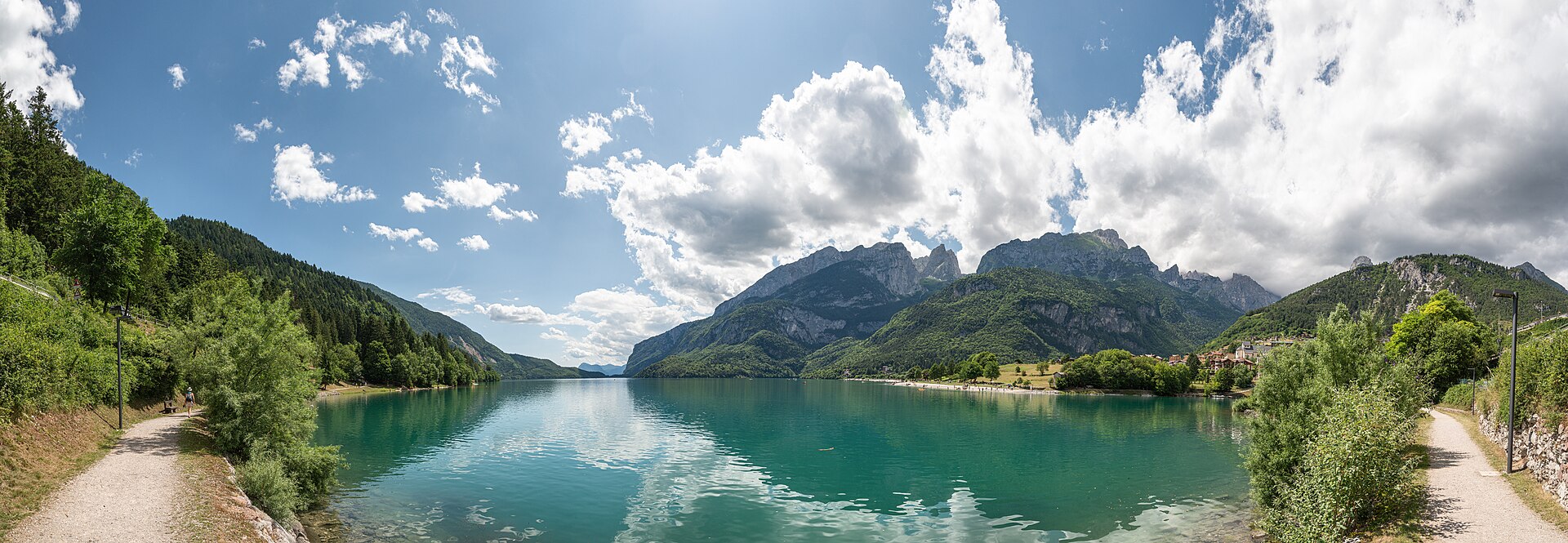
Keep at least one flexible day for changing weather and avoid fixing high-altitude plans too far in advance. The Brenta Dolomites summer guide connects these hikes with Lake Molveno, Stenico, Rango and Lake Garda without repeating the detailed route information on this page.
07
Use Casa Regina 21 as a flexible hiking base
Staying in Cares makes it possible to choose a route only after seeing the morning weather: walk locally on an uncertain day, climb Monte Casale in stable conditions, or reserve a full mountain day for Val d’Algone or Val d’Ambiez.
For lower-effort alternatives, compare the gentle walks close to the house. For lakes, villages and non-hiking days, return to the Comano Terme destination guide.
Hero photo: “Due Denti val Ambiez” by Stefano Valentini, CC BY-SA 4.0, via Wikimedia Commons.